
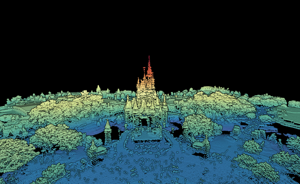
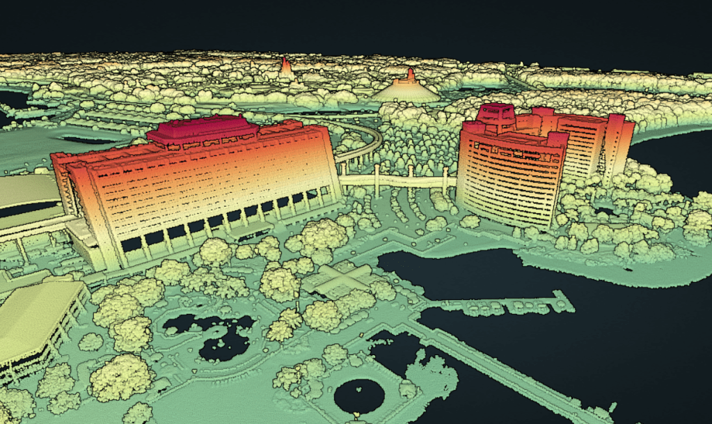
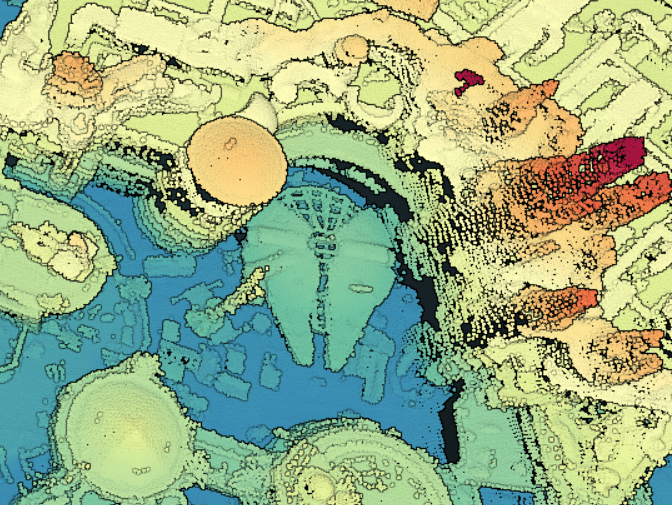
OpenTopography provides access to USGS 3DEP lidar data, and there just so happens to be lidar coverage of the whole Walt Disney World resort! Take a unique 3D look at some iconic features across Walt Disney World! The images are lidar 3D point clouds viewed in the online Potree viewer via OpenTopography.
Dataset citation: U.S. Geological Survey (2021). FL Peninsular FDEM Orange 2018. Distributed by OpenTopography. https://portal.opentopography.org/usgsDataset?dsid=FL_Peninsular_FDEM_Orange_2018.

1 thought on “Looking at Walt Disney World with Lidar!”
Comments are closed.